A Deception Unveiled and Target Found
Location
Other maps: Bing, Google, MapQuest.
Coordinates: 35.3124, -82.0406.
Type: Stop
Tour: Overmountain
County: Polk
The coordinates take you to the trailhead for a segment of the Overmountain Victory Trail. You will walk by, and briefly on, the roadbed Patriot militia followed to their campsite. That requires a three-mile round trip to a large meadow and has sections that can be muddy, so boots and bug spray are recommended. Read to the end of “Walking the Road” below before you start.
The trail is said to meet American Disability Act standards, including a separate switchback to the right near the start. However, it seems like anything other than a motorized wheelchair with off-road wheels would be challenged past the end of that.
Please see our Hurricane Helene page about likely impacts to this location from the 2024 floods.
Description
The Situation
 Angered by the threats of British Maj. Patrick Ferguson to cross the mountains and attack their homes, Patriot militia from today’s Tennessee now called the Overmountain Men and others are pursuing his corps. Unaware of that, he and his British/Loyalist force left their base at Gilbert Town, northeast of modern Rutherfordton, and headed southwest in search of another Patriot militia leader.
The pursuing Patriots learned Ferguson had moved when they neared Gilbert Town. Not sure where he was or was headed, they passed through it and followed his path. They arrive here at the Green River on Thursday, October 5, 1780, and set up camp prepared to continue south the next day over McDaniel’s Ford[1] (now called “Alexander’s”).
Perhaps here if not before, they might have been read a proclamation issued four days earlier by Ferguson when he was camped nearby at Dennard’s Ford, on the Broad River they had just crossed. It reads in part:
“I say if you (do not) want to be pinioned, robbed, and murdered, and see your wives and daughters, in four days, abused by the dregs of mankind—in short, if you wish or deserve to live, and bear the name of men, grasp your arms in a moment and run to (my) camp.
“The Back Water Men have crossed the mountains… If you choose to be pissed upon by a set of mongrels, say so at once, and let your women turn their backs upon you and look out for real men to protect them.”
Walking the Road
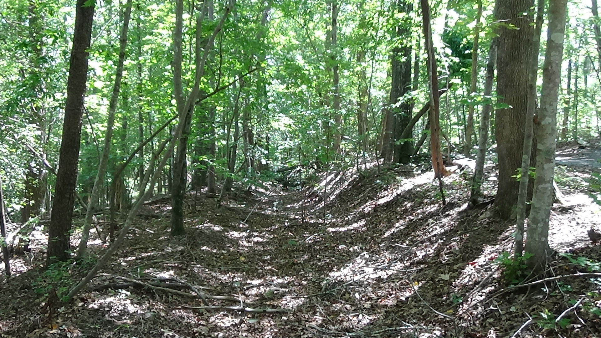
Near the trailhead behind the historical marker (which has several inaccuracies), you will see what looks like a U-shaped trench. That is the original roadbed. It parallels the modern trail most of the way, and the route then joins the trail near the end, so you will be walking in the footsteps of the Overmountain Men.
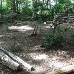
Partway down the trail on the right are small wooden steps leading to a side trail. It goes to a ring fence surrounding a cemetery for enslaved people from the plantation that existed here in the 19th Century. The graves are marked by field stones.
The Campsite
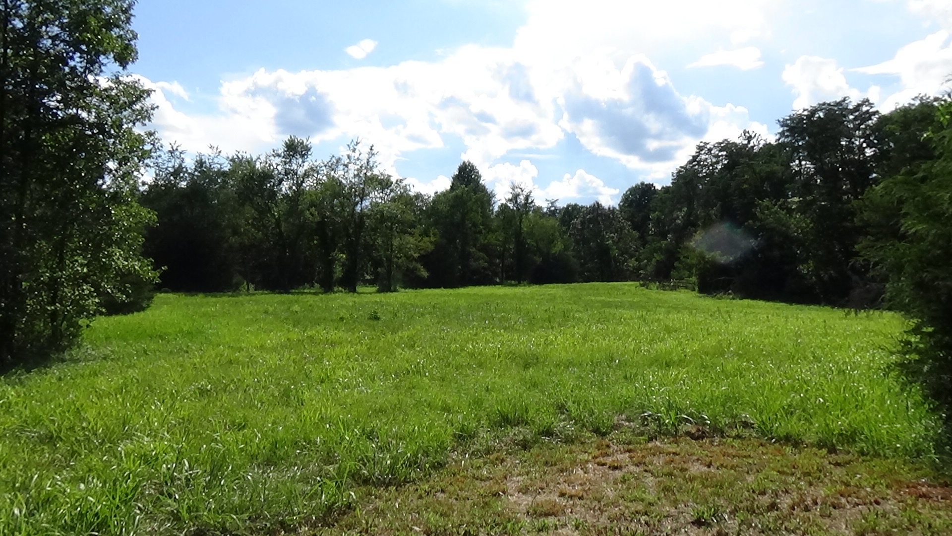
This section is written as if you are standing at the meadow, where the trail turns sharp left between logs on the ground. If you plan on taking the hike, do so before clicking the audio clip or reading further.
 Around 1,400 of these “Back Water Men” arrive down the current trailbed with nothing but the clothes and supplies on their backs (or horses’ backs, since most are mounted). They have no wagons, cannons, or camp followers. As they arrive at the ford they flow outward in all directions on this side of the river and settle in.
This site becomes a camp only in theory. Guards are posted, rotating every two hours, but little sleeping occurs. After marching 150 miles over 10 days through some trying conditions, the army that rides or marches down the narrow road is showing wear-and-tear. “Many of the horses had become weak, crippled, and exhausted, and not a few of the trampers foot-sore and weary.”[2] Progress is slow, and the colonels in charge fear they will not catch Ferguson.
They decide to split the force. About half, those the officers feel have the best horses and equipment based on their performance during the march, are selected to take the lead the next day. Major Joseph Herndon is given command. They begin preparing.
However, it could have gone terribly awry. Rumors about Ferguson’s whereabouts were flying. Capt. William Lenoir wrote later that they “‘received some further but imperfect information of the progress of… Ferguson, who was said to be progressing through the country in various directions, committing great ravages and atrocities.’” What no one knew for sure was that defectors from the Overmountain Men had found Ferguson during his raid in the area, and warned him of the Patriot threat. They only knew those men had gone missing a week before.
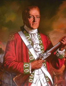
Earlier during this day’s march, South Carolina Col. James Williams and another man had joined them for part of it. Williams’ smaller force had been trying to catch up with the Overmountain Men on a parallel route to the east, and was about 20 miles away.[3] Williams apparently convinced the colonels that Ferguson either was headed for the garrison town of Ninety Six, S.C., or for the safety of the main British army now in Charlotte—in which case Ninety Six was the next logical target. Regardless, they arranged for a rendezvous with South Carolina militia at an iron works on the way to Ninety Six, and Williams went back to his camp.
Sometime in the wee hours, guards splashed across the river in this direction with a man in blindfold, and took him to the colonels somewhere in the meadow. They assumed he was a Tory spy. However, he eventually convinced them he was Col. Edward Lacey of the South Carolina militia. Lacey has traveled all night from the S.C. camp to warn that Williams misinformed them. Perhaps unfairly, he suggests that Williams, a property owner in Ninety Six, lied in hopes the Overmountain Men would retake the town for his own purposes.
Lacey informs overall commander Col. William Campbell and other colonels that a man well-known to his troops had boldly entered Ferguson’s camp claiming to be a Loyalist, and afterward found the S.C. Patriots to report. Lacey thus was able to pass along Ferguson’s direction, last location, and strength. Ferguson had indeed turned east toward Charlotte, but he was moving slowly and remained within striking distance. Lacey urged them to push the advance force forward with the help of the South Carolinians, and the N.C. leaders heartily agree. They decided to rendezvous the next night at a local landmark across the border, a cattle ranch known as the Cowpens. Lacey then headed back to his troops.
This change had a positive impact on morale. Some of the Overmountain Men were disgruntled at the idea of continuing another 100 miles south from their homes to attack Ninety Six. Spirits had risen by the time the advance force began crossing the ford at sunrise.
This was the closest these men get to “rest” for three days. After making their meetup at the Cowpens, they immediately marched to and fought the Battle of King’s Mountain. By the time that was over they had gone 40 hours with little food or sleep since leaving here.
At the Cowpens, Williams made another attempt to get men to follow him to Ninety-Six. Few did, and he and those men ended up trailing the Patriot army to King’s Mountain instead.
What to See
At the end of the main trail is the campsite, believed to have been a meadow then as it is today. It was also probably a Cherokee village or campsite for centuries before.[4] You are on, in effect, a peninsula within a bend in the river. The original road cut continued straight ahead along the modern tree line past where the trail curves left, and the ford is directly ahead at the point of the peninsula. The area now is a nature preserve. Access to the ford is prevented by a wide swath of thick woods and underbrush.
You can see the river by continuing on the trail to the left past the meadow. Contrary to the historical marker, this is not the ford. That is out of sight to your right when facing the water.

Either return the way you came, or take a narrow foot trail that starts in the woods to the right as you leave the river access. It loops back to the trailhead.
More Information
- Alexander’s Ford – Overmountain National Historic Trail (Synergy Point, 2008) <https://www.youtube.com/watch?v=SFr88J2O_to> [accessed 31 July 2020]
- Anderson, William, ‘Lincoln County Men at Kings Mountain’ (EleHistory Research, 2017) <http://elehistory.com/>
- Barr, Peter, ‘Alexander’s Ford: Overmountain Victory Trail’, Romantic Asheville <https://www.romanticasheville.com/overmountain-victory-trail> [accessed 21 July 2020]
- Draper, Lyman Copeland, King’s Mountain and Its Heroes: History of the Battle of King’s Mountain, October 7th, 1780, and the Events Which Led to It (Cincinnati: Peter G. Thomson, Publisher, 1881) <http://archive.org/details/cu31924032752846> [accessed 31 March 2020]
- Jones, Randell, Before They Were Heroes at King’s Mountain, North Carolina/Tennessee Edition (Winston-Salem, NC: Daniel Boone Footsteps, 2011)
- Jones, Randell, Guide to the Overmountain Victory National Historic Trail, ‘Ford at Green River (Alexander’s Ford)’, Overmountain Victory National Historic Trail <http://bythewaywebf.webfactional.com/omvt/items/show/10> [accessed 21 July 2020]
- Overmountain Victory National Historic Trail Commemorative Motor Route,’ Map
- Malone, Gina, ‘Historic Alexander’s Ford Preserved, Open to the Public’, Hendersonville Times-News, 2012 <https://www.blueridgenow.com/article/20121006/News/606026996> [accessed 22 July 2020]
