A Daring Choice to Split the Force
Location
Other maps: Bing, Google, MapQuest.
Coordinates: 35.8538, -82.0511.
Type: Stop
Tour: Overmountain
County: McDowell
You will park in the lot of the Museum of North Carolina Minerals, which sits by Gillespie Gap.
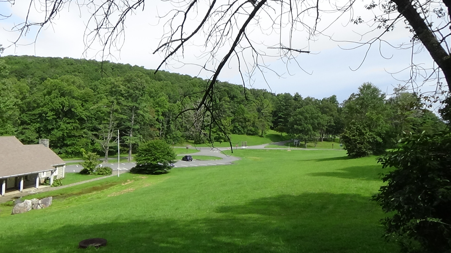
From the lot you can see the entire tour location. The trail taken by the Patriots is inaccessible to most people with mobility issues.
Description
Walk to the stone monument on the far side of the museum. Read the monument if you like. For unknown reasons it also mentions a 1761 battle at Etchoe Pass, but that site is near the Georgia border!
Look to your left into the meadow.

 More than 800 “Overmountain Men,” as they are now called, passed through here on Friday, September 29, 1780. These were militia members and volunteers who lived on the far side of the Appalachians, in Virginia and today’s Tennessee (then western North Carolina). They were on their way to attack a Loyalist army under British Maj. Patrick Ferguson. Last known to be camped at Gilbert Town near today’s Rutherfordton, Ferguson had threatened to cross the mountains to attack them.
The Overmountain Men and a herd of cattle for food had climbed by way of Grassy Creek, which starts nearby to the west. Then they marched along the ridge line to enter this cove.
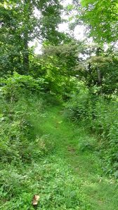
Directly behind the small, brown Overmountain Victory Trail sign uphill is an entrance to the Appalachian Trail (AT). It roughly follows the path the soldiers used from the head of Grassy Creek.
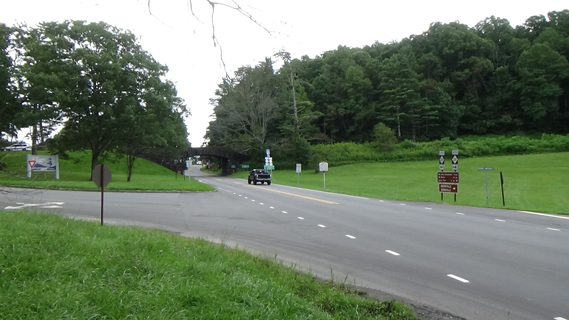
The men did not camp here, but would have filled this cove, probably wooded at the time, as they rested. Meanwhile their leaders, Cols. William Campbell, John Sevier, and Isaac Shelby, made a decision. The colonels are said to have climbed to the top of Gillespie Gap, perhaps near the modern intersection on the far side of the Blue Ridge Parkway, and looked into the Catawba Valley on the other side while discussing their options.[1] The gap was named for Henry Gillespie, who lived at the bottom of the mountain (see our Turkey Cove page for details).

The colonels were concerned that Ferguson was already fulfilling his threat. Their fear was heightened by the disappearance of two of the men a couple of nights earlier from their camp near Roan Mountain, whom they thought might be going to warn Ferguson. The officers decided to split their force. This served three purposes: It blocked both of the main mountain passes to their homes; prevented Ferguson from wiping out their whole force if he struck one wing; and left the possibility of the other wing attacking him from behind if that happened.
After a break, the divisions took off. Shelby and Sevier led their 480 men east along the ridge line (across today’s NC 226) several miles before heading downhill. Campbell’s 200 troops, and probably 160 others who had retreated from the Battle of Cane Creek near Gilbert Town, headed across the gap where the Parkway runs and down the route now taken by NC 226, following Cox Creek.[2]

What to Do
You can follow in the footsteps of the Overmountain Men! Walk up to the marker and into the woods along the trail as far as you like, and then turn around and imagine walking along with them. Another Overmountain Trail marker is visible directly across the highway. It marks the AT trail portion you can use to follow the wing under Shelby and Sevier after the split.[3]
Since you’ve come this far, you might want to check out the museum, if open, for its collection of minerals and details on the history of mining in this area.[4]
[1] Jones, Randell, Before They Were Heroes at King’s Mountain, North Carolina/Tennessee Edition (Winston-Salem, NC: Daniel Boone Footsteps, 2011)
[2] Ibid.
[3] ‘Tour’, Overmountain Victory National Historic Trail <http://bythewaywebf.webfactional.com/omvt/tours/show/3> [accessed 25 April 2020]
[4] In addition to the other footnoted sources, “Stop” information comes from one of two guidebooks; NCpedia; the online essay for the relevant North Carolina Highway Marker; and related Sight pages (see “About Sources“).


