Location
Tour: Hidden
County: Union
 NONE
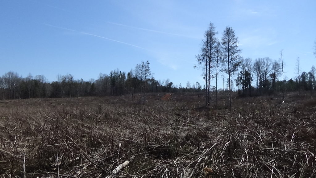
The map marker points to the general area where Patriot militia surprised a Loyalist unit prior to the British invasion of Charlotte in 1780.[1] The tract remains private property, and the exact battle location is lost to history.
A Local Locates the British
Most of this story comes from the Patriot commander involved. Where sources differ, we defer to his eyewitness account. But believe details with caution!
After defeating the Continental Army badly at the Battle of Camden (S.C.), the British moved into a camp in this region, known as “the Waxhaws” for the Native American tribe that lived here before Europeans arrived. Most of Lt. Gen. Lord Charles Cornwallis’ army camped on both sides of the state border along the north bank of Waxhaw Creek, starting about a mile to the west of the map location. However, one regiment, the 71st of Foot (infantry), was on the south side, protecting the right end or “flank” of the army. It camped on heights perhaps a mile southeast of a mill on the creek near the map marker.[2]
Loyalist (“Tory”)