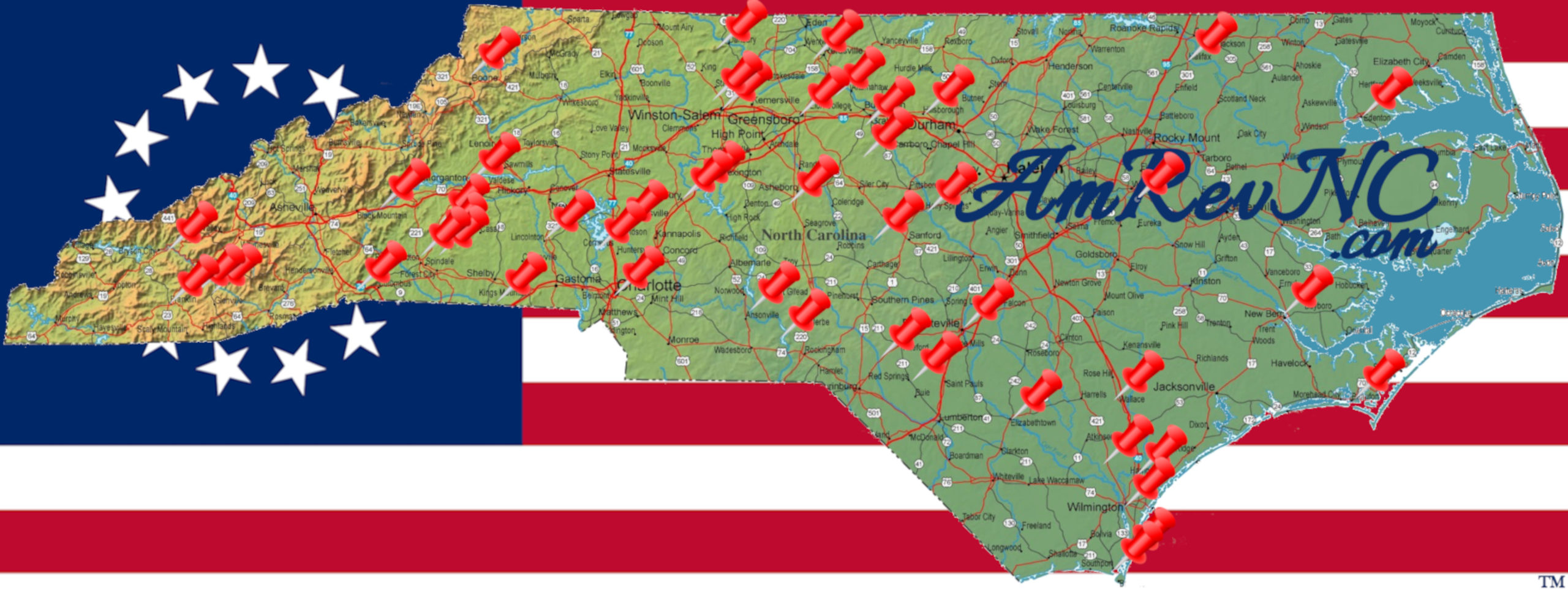
Location
Other maps: Bing, Google, MapQuest.
Coordinates: 36.2516, -79.5642.
Type: Sight
Tour: Guilford Battle
County: Rockingham
 Partial
Park in the tiny lot for High Rock Park at the coordinates, in a forest next to the Haw River.
You are probably in part of the Continental Army camp here. Seeing the ford requires a short walk on a rough dirt trail with possible obstacles.
Context
Continental Major Gen. Nathanael Greene has returned to North Carolina from Virginia after withdrawing there to regroup in early 1781, and is changing his army’s position frequently in hopes of delaying his planned confrontation with the British.
Situation
British
British Lt. Gen. Lord Charles Cornwallis was trying to pin down Greene. He generally kept his army in the vicinity of modern Burlington and moved north when getting intelligence on Greene’s location.
Continental/Patriot
For two weeks, the American army spent no more than two nights in any one camp, trying to avoid a direct confrontation with Cornwallis. Greene is collecting as many part-time “militia” units as he can before the battle, and many N.C. and Virginia companies are on their way.
Dates
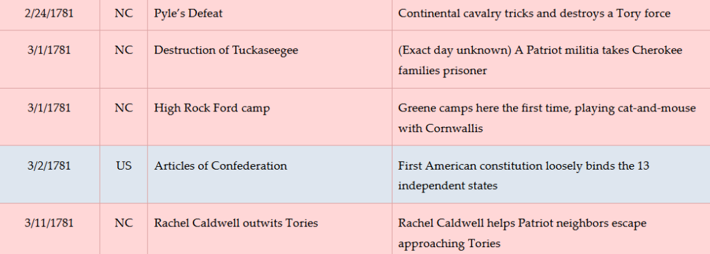
Thursday, March 1–Tuesday, March 13, 1781.
Timeline
Imagine the Scene
Take the trail toward the river, by the information panel on the right side of the lot. Near a historical marker, take the fork to the right, which leads under the bridge to a second marker. Stop near there.
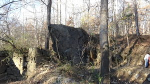
A little farther down the trail is the “High Rock” on the right, with part of a post-Revolution mill dam between it and the river. On Thursday, March 1, 1781, a few days after lea