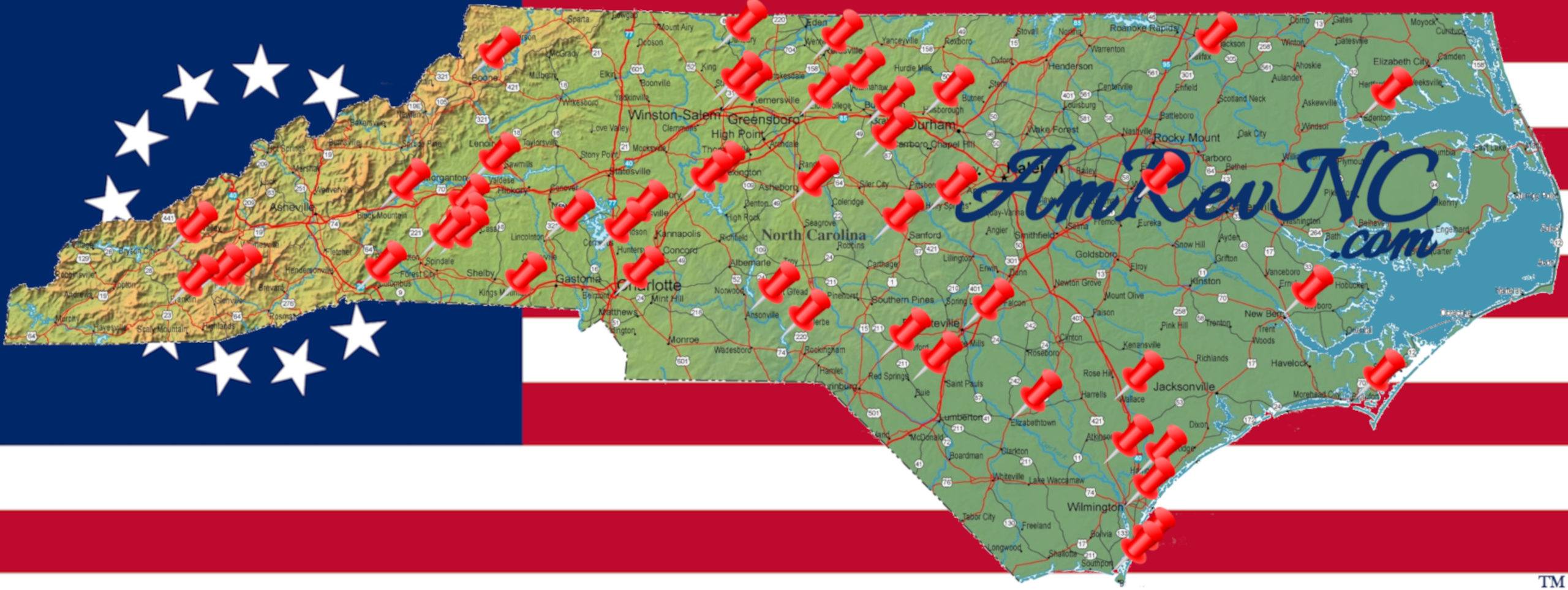
Location
View Larger Map
Other maps: Bing, Google, Mapquest.
Coordinates: 35.3647, -80.8983.
Type: Stop
Tour: Race to the Dan
County: Mecklenburg
 Difficult
You are going to the older cemetery of Hopewell Presbyterian Church. The church property is fronted by a long stone wall. The coordinates are the entrance to a driveway at the southern end of the wall (closest to Charlotte).
If the parking lot is empty, the grave is visible from your vehicle at a distance. Closer inspection requires crossing typical cemetery ground.
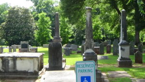
William Davidson
Go to the end of the parking lot closest to the church. Walk to the cluster of three columns (for Davidson kin), and then between the middle one and the one to the right. Look toward the left, and find the vertical stone monument with a “box marker” that looks like a tomb on its right.
 As a two-year-old, William Davidson was part of the “Great Migration” down the Great Wagon Road from Pennsylvania, settling in what now is Iredell County. He went to school at Sugar Creek Church near Charlotte. Sadly, he was only 13 when his father died.[1]
As a part-time “militia” soldier at 19, he helped escort Royal Gov. William Tryon to treaty negotiations with the Cherokees in 1767.[2] Starting as a captain in the Rowan County militia in 1776, he served against the Cherokees in N.C. and Loyalists in South Carolina. Davidson became a major in the regular Continental Army the next year. After helping to recruit soldiers, he was sent north from