Location
Other maps: Bing, Google, MapQuest.
Coordinates: 34.6856, -78.7843.
Type: Stop
Tour: Tory War
County: Bladen
 Full
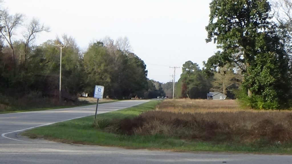
The triangle in the southwest corner of NC 131 and Perdie Church Road, at the coordinates, can accommodate any passenger vehicle. Park facing the highway if you want to stay inside your vehicle.
Description
Walk near the highway if you wish, and look north (to the right when facing it).
Hoping to recover from damage inflicted on his army at the Battle of Guilford Court House in modern Greensboro, British Lt. Gen. Lord Charles Cornwallis took his army to Cross Creek (today’s Fayetteville). However there weren’t enough supplies or Loyalist allies there, so he decided to continue to Wilmington, occupied by a British force. On the way, his army of perhaps 1,800 plus followers arrived from the north and camped here near Black Swamp, the waterway to the left, on Monday, April 2, 1781.